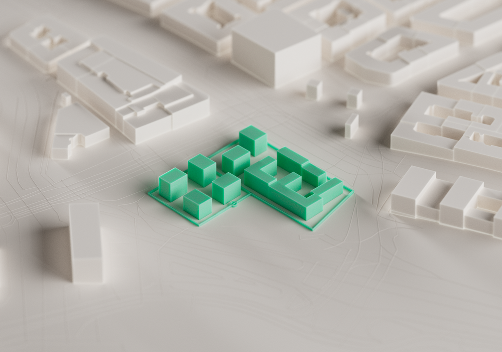
Municipalities

Masterful masterplans

Cities are truly living, ever-changing organisms. Adding to the canvas, on which the inhabitants should thrive and make their own, is a huge and complex responsibility. Let Hektar help you with that.

Urban fabric in transition

The task of city planning is notoriously challenging, encompassing multiple scales ranging from micro to macro. Cross-referencing all possible choices and outcomes quickly becomes overwhelming. Hektar will provide a comprehensive overview of various alternatives to find the path forward.

Multiple scales at once

For a city, there is extensive interdependency between all its elements and actants; A certain street network will suit certain typologies of housing. Conversely, certain typologies of housing require a specific street network to complement them. Hektar is aware of similarly intertwined aspects of planning and will let you seamlessly transition between various scales of planning as a result.
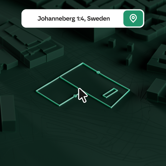
Create, export, combine.

As municipalities anddevelopers largely rely on geospatial data when planning urban development and in discussions with developers, we tailored Hektar for seamless integration in this data pipeline; Import geospatial data in .pdf or .png format and aggregate it using the various open-data resources available in Hektar.For a continued streamlined workflow, be it further elaboration in detail orimport into a more extensive context model, design scenarios can easily beexported as 3d-models from Hektar at the press of a button.

Got questions? Shoot!

Thank you for contacting us!
Your submission has been received!
Oops! Something went wrong while submitting the form.

We aim to get back to you within 1-2 business days. However, depending on the topic answering times may vary. For urgent matters, please call us on +46 72 252 114.

* Required fields to fill in.